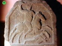
Teachers have been striving to make their curriculum more fully reflect the history of all members of a community, to tell the stories not only of kings and generals, but of the young and the old, women and men, and those with both extraordinary and ordinary abilities and challenges. The lesson added to our resource library this week is an example of how to bring this perspective to the study of the Ancient World, using the words of writers at that time, as well as images of artifacts, and drawing comparisons with examples from U.S.
Tutankhamun, Egyptian Boy-King: Disability, Art, & Respect
Tutan(not-so)khamun
King Tutankhamun was a pharaoh who became a leader at age 9. His tomb is a rich source of art and information about the time in which he lived. He was also a leader with a physical disability.

